FAQs
Here is a list of frequently asked questions (FAQs). For more information, please contact us.
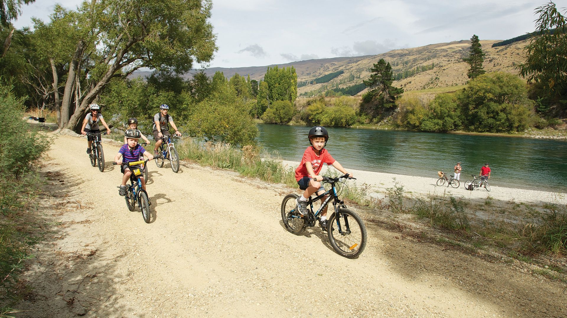
Allow approximately 1 hour per 10 km. This will allow time for photo shoots, snacks, chats, seat adjustments, etc.
Expert riders have cycled the trail in one day while others have taken 2 to 5 days. The trail surface is good and firm allowing easy riding. Gradients are minimal with only a few switchbacks for changes in level.
There are five villages along the trail with food services:
Lake Roxburgh Village, Roxburgh, Millers Flat, Beaumont and Lawrence. Supermarkets are located in Roxburgh and Lawrence.
Either! Dunedin International airport is one hour from Lawrence; Queenstown International airport is 1.5 hours from Lake Roxburgh Village and Roxburgh. Many local cyclists join the trail at the mid-towns of Millers Flat or Beaumont for shorter rides.
From Clyde, cycle on the true right of the Clutha Mata-au river to Alexandra bridge. Cycle under the bridge on to the Roxburgh Gorge Trail (still on the true right of the river). A 13 kilometre mid-section has no trail, where it's pre-booked boat transfer only, before re-joining the trail and cycling on to the Roxburgh Hydro Dam. Cross the dam to join the Clutha Gold Trail on the true left of the river, and on to Lawrence.
Lawrence, Roxburgh, Alexandra and Clyde.
Most of the trail is less than 100 metres above sea level. The highest point on the trail is Big Hill tunnel which is still less than 200 metres above sea level.
Anytime! SPRING can be fine with early blossom and some showers | SUMMER is hot and dry with fresh summer fruit at orchard stalls | AUTUMN is warm and dry with orange and gold leaf colours, and apples and pears at orchard stalls | WINTER is peaceful, quiet and cold - rug up and enjoy.
Maori were the first to travel from coast to inland lakes, then European pastoralists, followed by gold prospectors of European and Chinese descent. The railway came to Roxburgh from Lawrence by 1928 but closed in 1968. The trail follows the Clutha Mata-au river
for 50km. Some sections are on the disused rail corridor and one incorporates Big Hill rail tunnel (440m).
Approximately 10 kilometres apart.
Purchase water at any of the village shops, although potable water is available from a trail tap near the Millers Flat sign kiosk.
Adequate shade is available at Shingle Creek while there is a little at Doctors Point. Carry a light shirt with sleeves, a sun hat and use plenty of sunscreen (also useful during the approximately 45min boat trip).
Allow double the normal time estimate to arrive well ahead of the boat.
Yes, including the boat transfer by Beaumont Cycle Jet.
Each of the two sections should take one to two hours, depending on fitness, and allow around 45 minutes for the boat transfer. So, that's around five to six hours total.
Built to the same high standard as the connecting Clutha Gold Trail, and classed as New Zealand Cycle Trail Grade 2 to 3. Reasonable fitness is required through this rugged and isolated gorge - some of the climbs are steep but all are walkable.
Yes, it is essential to make bookings. Make them at
• Alexandra i-SITE (03) 448 9515 or
• Roxburgh i-SITE (03) 446 8920
• Lawrence Info Centre (03) 4859 222
The 33 kilometre trail follows the true right (west side) of the Clutha Mata-au river from Alexandra to the hydro-electric dam at Lake Roxburgh Village.
Carry all food and water/drinks as none is availabe on the trail. Stock up at Alexandra or Roxburgh.
Our Reviews
We have just completed the Roxburgh Gorge & Clutha Gold cycling organised by a local bike tour operator. The trail was in excellent order and very doable for anyone who does a bit of cycling. There is always the option of walking if necessary. We started from Clyde and cycled the Anniversary...
Jeanette, Auckland
We did the Clutha Gold trail ride from Clyde to Lawrence: amazing. Our cycle tour operator in Clyde organised the accommodations, bikes and itinerary which was fantastically easy. You will explore lovely towns, ride remote trails that are challenging but safe, see wonderful historical remnants,...
Michael, Australia
We have just completed a weeks holiday based in Miller's flat riding sections of the Clutha Gold Trail. The trail was great, well maintained and relatively easy. The scenery was outstanding. The trail meanders alongside the Mighty Clutha in the Teviot Valley. The weather was kind to us and...
Pete, New Zealand