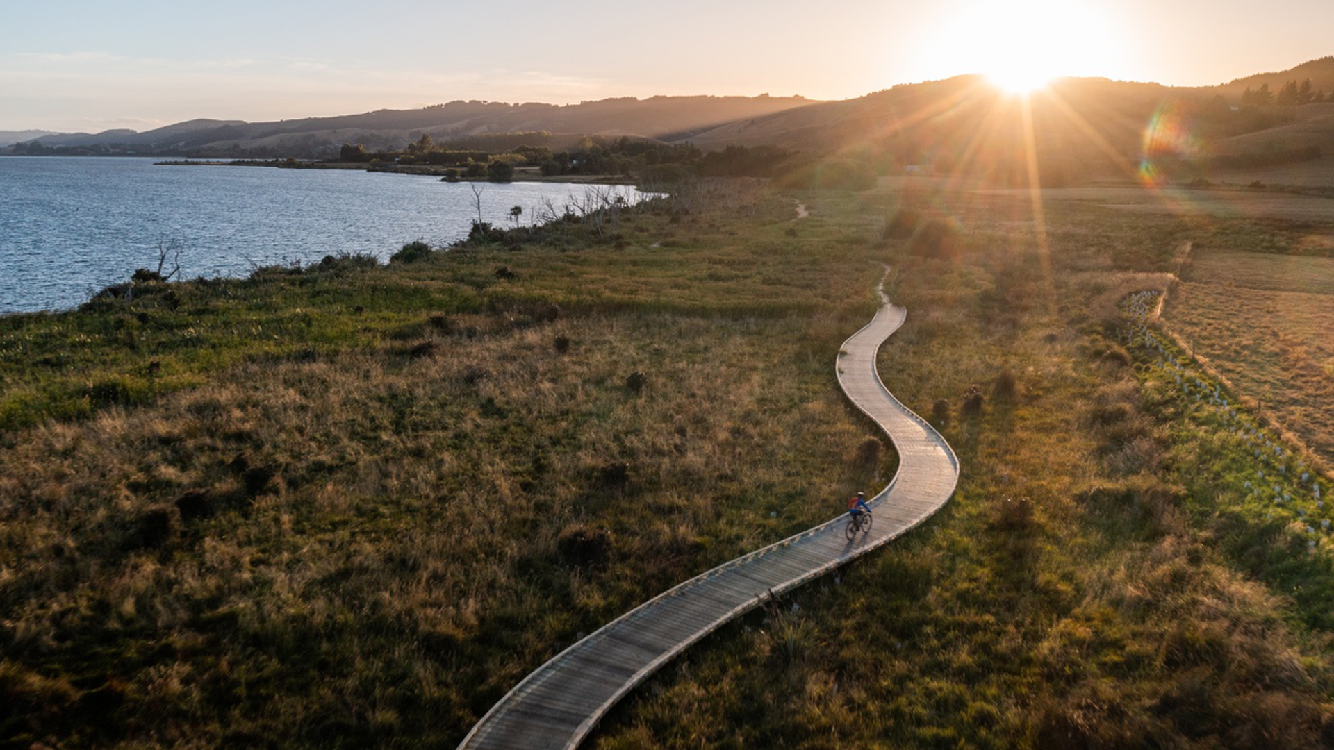


Plan your cycling adventure in Otago and New Zealand!

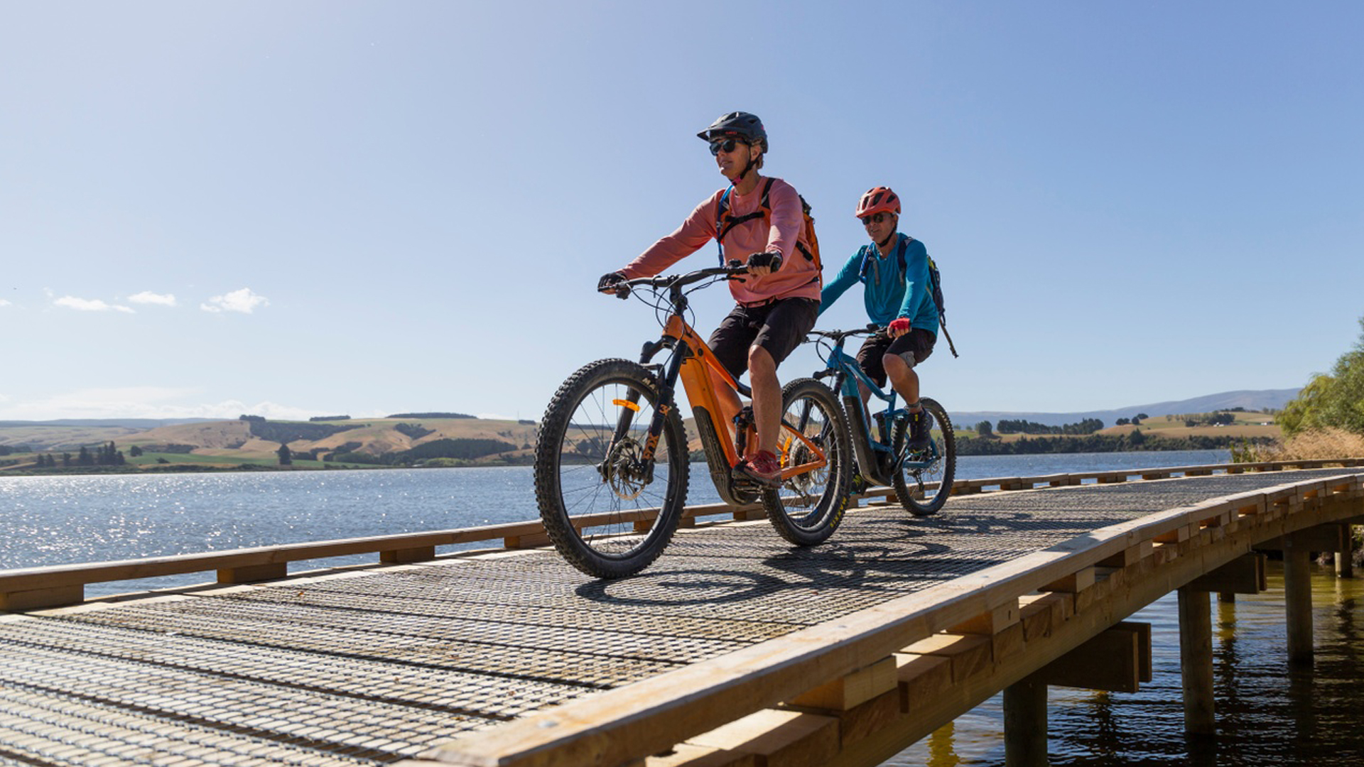
Plan your trip to other Otago Great Rides - Queenstown Trails, Lake Dunstan and Central Otago Rail Trail.
.png)
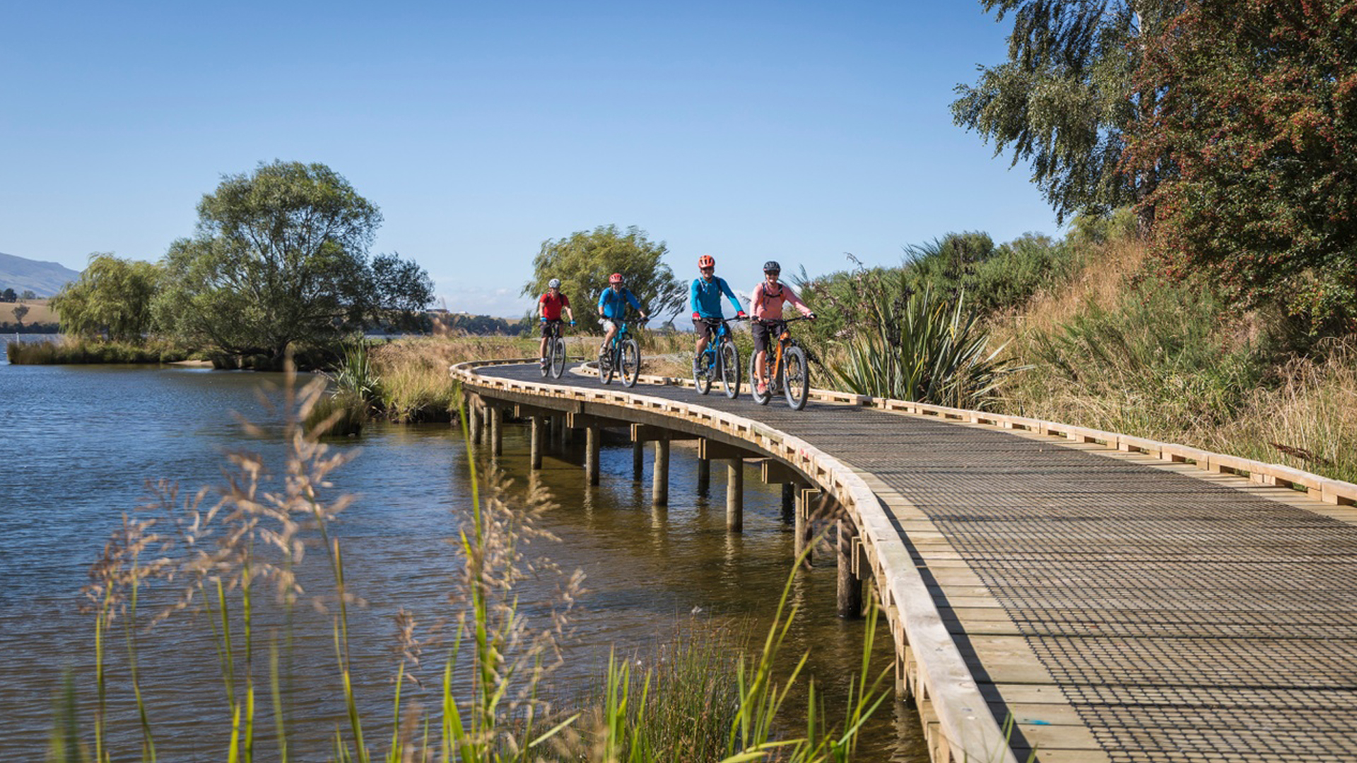
Loved the experience? There are another 21 Great Rides across Aotearoa New Zealand to explore.